Accessing Our Commercial Data
The core LandIS soil data is now available as open access to the public. However, our specialised commercial datasets and detailed reports are available here.
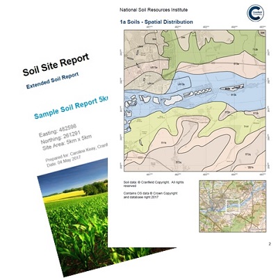
Soil site reports
The “Soils Site Reporter” is an easy-to-use, online soil reporting tool which produces site-specific soils information with maps and soil descriptions.
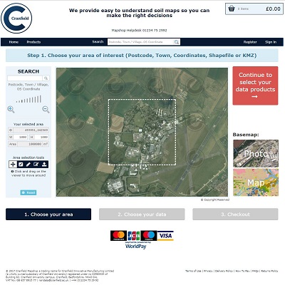
Cranfield Mapshop
Download soils data for use in your GIS application
Soil Data Lease
For more complex soil data licences or data for larger areas (>10,000km2) consult the LandIS team
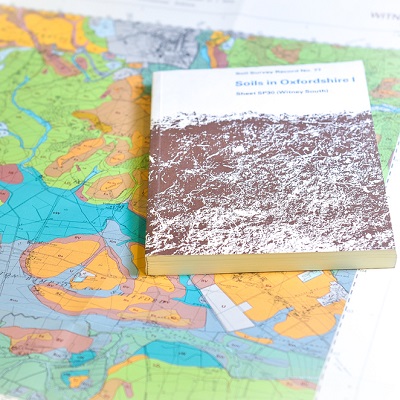
Soil Book Store
Scanned versions of our published soil maps and books
Natural Perils Directory
Trusted subsidence data for the UK insurance industry
CatchIS
CatchIS - Catchment Information System